
Thank you for supporting this site ❤️
Make a donation
Make a donation
Santo Domingo Tehuantepec topographic map
Click on the map to display elevation.
Thank you for supporting this site ❤️
Make a donation
Make a donation
About this map
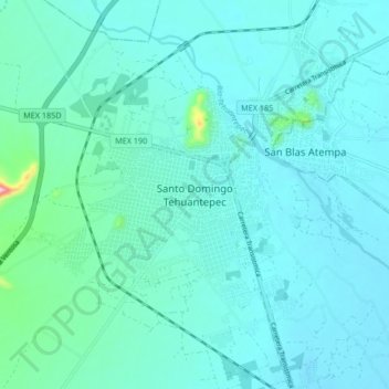
Name: Santo Domingo Tehuantepec topographic map, elevation, terrain.
Location: Santo Domingo Tehuantepec, Oaxaca, 70760, México (16.27726 -95.28680 16.35726 -95.20680)
Average elevation: 51 m
Minimum elevation: 22 m
Maximum elevation: 275 m
Thank you for supporting this site ❤️
Make a donation
Make a donation
Other topographic maps
Click on a map to view its topography, its elevation and its terrain.