
Thank you for supporting this site ❤️
Make a donation
Make a donation
Khilla Ghanpur topographic map
Click on the map to display elevation.
Thank you for supporting this site ❤️
Make a donation
Make a donation
About this map
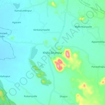
Name: Khilla Ghanpur topographic map, elevation, terrain.
Location: Khilla Ghanpur, Ghanpur mandal, Wanaparthy, Telangana, India (16.53383 78.01093 16.61383 78.09093)
Average elevation: 436 m
Minimum elevation: 395 m
Maximum elevation: 664 m
Thank you for supporting this site ❤️
Make a donation
Make a donation