
Thank you for supporting this site ❤️
Make a donation
Make a donation
Fatehabad topographic map
Click on the map to display elevation.
Thank you for supporting this site ❤️
Make a donation
Make a donation
About this map
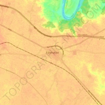
Name: Fatehabad topographic map, elevation, terrain.
Location: Fatehabad, Agra, Uttar Pradesh, 283111, India (26.98716 78.26091 27.06716 78.34091)
Average elevation: 160 m
Minimum elevation: 133 m
Maximum elevation: 167 m
Thank you for supporting this site ❤️
Make a donation
Make a donation