
Chapel Point topographic map
Interactive map
Click on the map to display elevation.
About this map
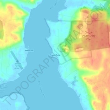
Name: Chapel Point topographic map, elevation, terrain.
Location: Chapel Point, Charles County, Maryland, 20677, USA (38.44373 -77.04886 38.48373 -77.00886)
Average elevation: 16 m
Minimum elevation: -7 m
Maximum elevation: 53 m