
High Knob topographic map
Interactive map
Click on the map to display elevation.
About this map
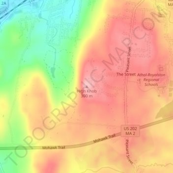
Name: High Knob topographic map, elevation, terrain.
Location: High Knob, Athol, Worcester, Massachusetts, 01331, USA (42.57309 -72.22736 42.57319 -72.22726)
Average elevation: 240 m
Minimum elevation: 150 m
Maximum elevation: 299 m