
Hornu topographic map
Interactive map
Click on the map to display elevation.
About this map
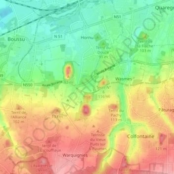
Name: Hornu topographic map, elevation, terrain.
Location: Hornu, Boussu, Mons, Hainaut, Wallonie, 7301, Belgique (50.39499 3.79888 50.44415 3.84355)
Average elevation: 62 m
Minimum elevation: 13 m
Maximum elevation: 120 m
Other topographic maps
Click on a map to view its topography, its elevation and its terrain.