
Guajira topographic map
Interactive map
Click on the map to display elevation.
About this map
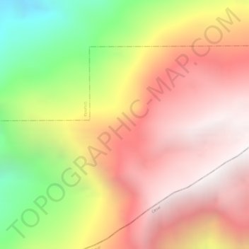
Name: Guajira topographic map, elevation, terrain.
Location: Guajira, La Jagua del Pilar, La Guajira, Colombia (10.41596 -72.96831 10.43596 -72.94831)
Average elevation: 2,379 m
Minimum elevation: 1,419 m
Maximum elevation: 2,999 m