
Edam-Volendam topographic map
Interactive map
Click on the map to display elevation.
About this map
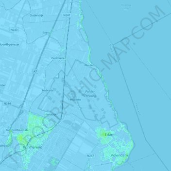
Name: Edam-Volendam topographic map, elevation, terrain.
Location: Edam-Volendam, Nordholland, Niederlande (52.48457 4.94935 52.61261 5.11299)
Average elevation: -1 m
Minimum elevation: -7 m
Maximum elevation: 6 m
Other topographic maps
Click on a map to view its topography, its elevation and its terrain.
Volendam
Niederlande > Nordholland > Edam-Volendam
Volendam, Edam-Volendam, Nordholland, Niederlande
Average elevation: 0 m