
Thornfield topographic map
Interactive map
Click on the map to display elevation.
About this map
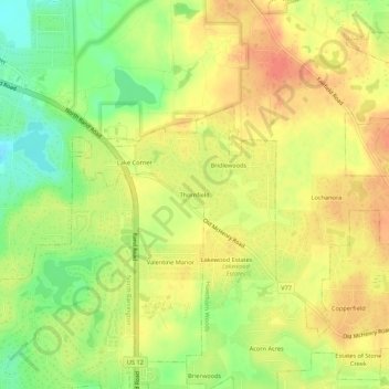
Name: Thornfield topographic map, elevation, terrain.
Location: Thornfield, Lake County, Illinois, USA (42.21530 -88.12341 42.25530 -88.08341)
Average elevation: 261 m
Minimum elevation: 232 m
Maximum elevation: 281 m