
Thank you for supporting this site ❤️
Make a donation
Make a donation
Maple City topographic map
Click on the map to display elevation.
Thank you for supporting this site ❤️
Make a donation
Make a donation
About this map
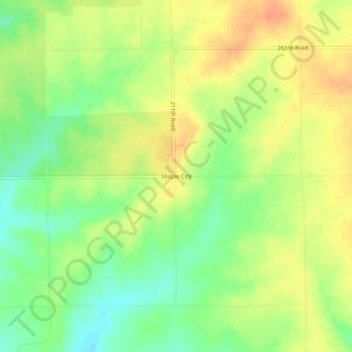
Name: Maple City topographic map, elevation, terrain.
Location: Maple City, Cowley County, Kansas, 67102, United States (37.03586 -96.78836 37.07586 -96.74836)
Average elevation: 402 m
Minimum elevation: 380 m
Maximum elevation: 421 m
Thank you for supporting this site ❤️
Make a donation
Make a donation