
Thank you for supporting this site ❤️
Make a donation
Make a donation
Botolan topographic map
Click on the map to display elevation.
Thank you for supporting this site ❤️
Make a donation
Make a donation
About this map
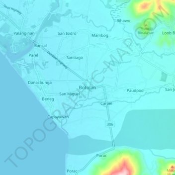
Name: Botolan topographic map, elevation, terrain.
Location: Botolan, Zambales, Central Luzon, 2202, Philippines (15.24900 119.98474 15.32900 120.06474)
Average elevation: 22 m
Minimum elevation: -1 m
Maximum elevation: 323 m
Thank you for supporting this site ❤️
Make a donation
Make a donation