
Thank you for supporting this site ❤️
Make a donation
Make a donation
Ravlunda topographic map
Click on the map to display elevation.
Thank you for supporting this site ❤️
Make a donation
Make a donation
About this map
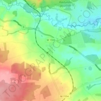
Name: Ravlunda topographic map, elevation, terrain.
Location: Ravlunda, Simrishamns kommun, Skåne County, 277 37, Sweden (55.69008 14.13129 55.73008 14.17129)
Average elevation: 53 m
Minimum elevation: 2 m
Maximum elevation: 131 m
Thank you for supporting this site ❤️
Make a donation
Make a donation