
Ganderkesee topographic map
Interactive map
Click on the map to display elevation.
About this map
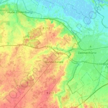
Name: Ganderkesee topographic map, elevation, terrain.
Location: Ganderkesee, Oldenbourg (arrondissement), Basse-Saxe, Allemagne (52.96487 8.42516 53.12776 8.63551)
Average elevation: 20 m
Minimum elevation: -2 m
Maximum elevation: 47 m