
Pimparkhed topographic map
Click on the map to display elevation.
About this map
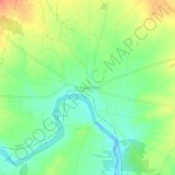
Name: Pimparkhed topographic map, elevation, terrain.
Location: Pimparkhed, Shirur, Pune District, Maharashtra, India (18.97473 74.12189 19.01473 74.16189)
Average elevation: 605 m
Minimum elevation: 585 m
Maximum elevation: 631 m