
Thank you for supporting this site ❤️
Make a donation
Make a donation
Tamiya topographic map
Click on the map to display elevation.
Thank you for supporting this site ❤️
Make a donation
Make a donation
About this map
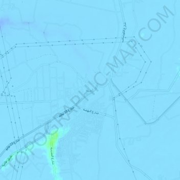
Name: Tamiya topographic map, elevation, terrain.
Location: Tamiya, Faiyum, 63711, Egypt (29.46018 30.94353 29.50018 30.98353)
Average elevation: -8 m
Minimum elevation: -30 m
Maximum elevation: 8 m
Thank you for supporting this site ❤️
Make a donation
Make a donation
Other topographic maps
Click on a map to view its topography, its elevation and its terrain.
Thank you for supporting this site ❤️
Make a donation
Make a donation
Thank you for supporting this site ❤️
Make a donation
Make a donation