
Make a donation
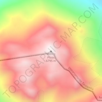
Monte Pissis topographic map
Click on the map to display elevation.
Make a donation
Monte Pissis
A 1994 Argentine expedition claimed —using GPS technology available at the time— that the elevation of Monte Pissis was 6,882 m (22,579 ft), higher than Ojos del Salado. Ten years later, with the use of higher precision systems, several other surveys proved that those measurements were inaccurate: in 2005, an Austrian team performed a DGPS survey of Pissis' summit and found the elevation to be 6,793 m (22,287 ft). In 2006 an international expedition surveyed the height on the summit, and found results in agreement with an elevation around 6,800 m (22,300 ft). This was later confirmed by a 2007 Chilean-Argentine-European expedition, which surveyed both Ojos del Salado and Monte Pissis and provisionally found the former to be 6,891 m (22,608 ft) and the latter 6,793 m (22,287 ft).
Make a donation
About this map
Name: Monte Pissis topographic map, elevation, terrain.
Average elevation: 6,465 m
Minimum elevation: 5,872 m
Maximum elevation: 6,791 m
Make a donation