
Jajapur topographic map
Interactive map
Click on the map to display elevation.
About this map
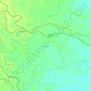
Name: Jajapur topographic map, elevation, terrain.
Location: Jajapur, Odisha, India (20.75330 86.26491 20.90284 86.42565)
Average elevation: 12 m
Minimum elevation: 5 m
Maximum elevation: 24 m
Other topographic maps
Click on a map to view its topography, its elevation and its terrain.