
Thank you for supporting this site ❤️
Make a donation
Make a donation
Chilacachapa topographic map
Click on the map to display elevation.
Thank you for supporting this site ❤️
Make a donation
Make a donation
About this map
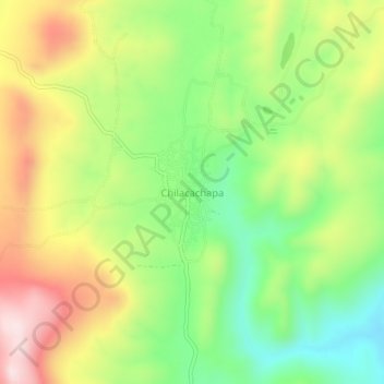
Name: Chilacachapa topographic map, elevation, terrain.
Location: Chilacachapa, Cuetzala del Progreso, Guerrero, México (18.25278 -99.78111 18.29278 -99.74111)
Average elevation: 1,705 m
Minimum elevation: 1,514 m
Maximum elevation: 1,945 m
Thank you for supporting this site ❤️
Make a donation
Make a donation