
Thank you for supporting this site ❤️
Make a donation
Make a donation
San Pedro topographic map
Click on the map to display elevation.
Thank you for supporting this site ❤️
Make a donation
Make a donation
About this map
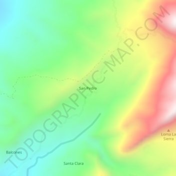
Name: San Pedro topographic map, elevation, terrain.
Location: San Pedro, Cunday, Oriente, Tolima, RAP Eje Cafetero, Colombia (4.02113 -74.62724 4.06113 -74.58724)
Average elevation: 1,157 m
Minimum elevation: 805 m
Maximum elevation: 1,724 m
Thank you for supporting this site ❤️
Make a donation
Make a donation