
Thank you for supporting this site ❤️
Make a donation
Make a donation
Qarun topographic map
Click on the map to display elevation.
Thank you for supporting this site ❤️
Make a donation
Make a donation
About this map
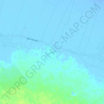
Name: Qarun topographic map, elevation, terrain.
Location: Qarun, Faiyum, Egypt (29.38815 30.39100 29.42815 30.43100)
Average elevation: -2 m
Minimum elevation: -25 m
Maximum elevation: 13 m
Thank you for supporting this site ❤️
Make a donation
Make a donation
Other topographic maps
Click on a map to view its topography, its elevation and its terrain.
Thank you for supporting this site ❤️
Make a donation
Make a donation
Thank you for supporting this site ❤️
Make a donation
Make a donation