
Den Kaat topographic map
Interactive map
Click on the map to display elevation.
About this map
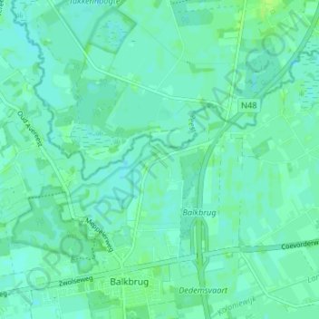
Name: Den Kaat topographic map, elevation, terrain.
Location: Den Kaat, Overijssel, Nederland, 7707, Nederland (52.59468 6.37930 52.63468 6.41930)
Average elevation: 6 m
Minimum elevation: 2 m
Maximum elevation: 11 m