
Thank you for supporting this site ❤️
Make a donation
Make a donation
Mkpot Isong topographic map
Click on the map to display elevation.
Thank you for supporting this site ❤️
Make a donation
Make a donation
About this map
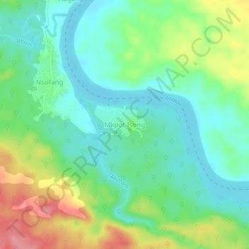
Name: Mkpot Isong topographic map, elevation, terrain.
Location: Mkpot Isong, Etung, Cross River State, Nigeria (5.78000 8.69790 5.82000 8.73790)
Average elevation: 57 m
Minimum elevation: 25 m
Maximum elevation: 121 m
Thank you for supporting this site ❤️
Make a donation
Make a donation