
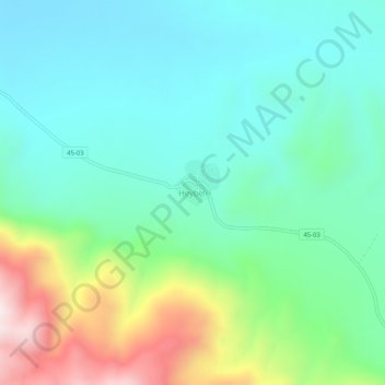
Heybeli topographic map
Interactive map
Click on the map to display elevation.
About this map
Name: Heybeli topographic map, elevation, terrain.
Location: Heybeli, Saruhanlı, Manisa, Ägäisregion, Türkei (38.64274 27.75645 38.68274 27.79645)
Average elevation: 305 m
Minimum elevation: 104 m
Maximum elevation: 852 m