
Thank you for supporting this site ❤️
Make a donation
Make a donation
North Enid topographic map
Click on the map to display elevation.
Thank you for supporting this site ❤️
Make a donation
Make a donation
About this map
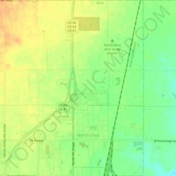
Name: North Enid topographic map, elevation, terrain.
Location: North Enid, Garfield County, Oklahoma, United States (36.42716 -97.87283 36.46330 -97.85479)
Average elevation: 388 m
Minimum elevation: 369 m
Maximum elevation: 403 m
Thank you for supporting this site ❤️
Make a donation
Make a donation