
Thank you for supporting this site ❤️
Make a donation
Make a donation
Mainwangen topographic map
Click on the map to display elevation.
Thank you for supporting this site ❤️
Make a donation
Make a donation
Mainwangen
Mainwangen liegt im Nordosten des Hegaus, am Übergang zum Linzgau, etwa anderthalb Kilometer nordwestlich der Mühlinger Ortsmitte, auf einer Höhe von bis zu 681,9 m ü. NHN. Früher, im ausgehenden Mittelalter, wurde diese Landschaft nördlich von Stockach als das „Madach“ bezeichnet.
Thank you for supporting this site ❤️
Make a donation
Make a donation
About this map
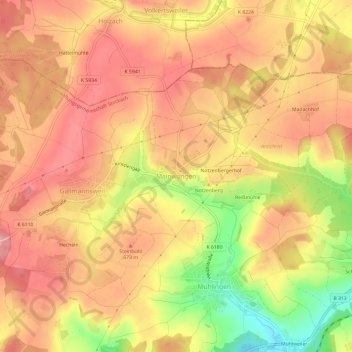
Name: Mainwangen topographic map, elevation, terrain.
Average elevation: 653 m
Minimum elevation: 567 m
Maximum elevation: 699 m
Thank you for supporting this site ❤️
Make a donation
Make a donation