
Arnaudville topographic map
Interactive map
Click on the map to display elevation.
About this map
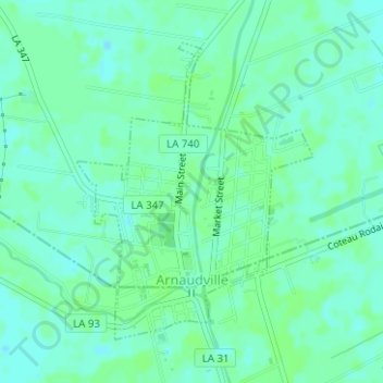
Name: Arnaudville topographic map, elevation, terrain.
Location: Arnaudville, St. Landry Parish, Louisiana, United States (30.39340 -91.94110 30.41435 -91.92171)
Average elevation: 8 m
Minimum elevation: 4 m
Maximum elevation: 11 m