
元里村 topographic map
Interactive map
Click on the map to display elevation.
About this map
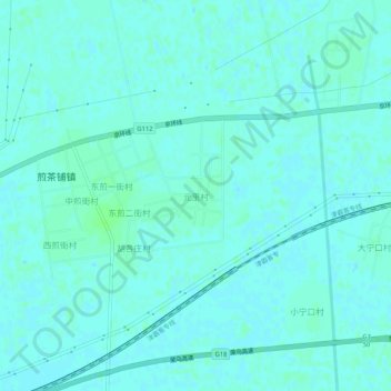
Name: 元里村 topographic map, elevation, terrain.
Location: 元里村, Langfang, Hebei, Chine (39.08780 116.51155 39.12780 116.55155)
Average elevation: 7 m
Minimum elevation: 4 m
Maximum elevation: 11 m