
مدينة البدرشين topographic map
Interactive map
Click on the map to display elevation.
About this map
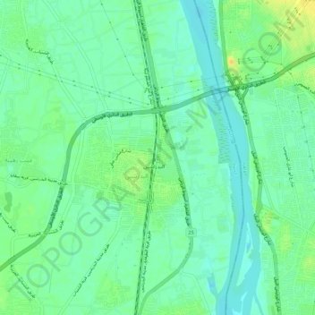
Name: مدينة البدرشين topographic map, elevation, terrain.
Location: مدينة البدرشين, Guiza, 12918, Egipto (29.83026 31.26052 29.87785 31.29296)
Average elevation: 22 m
Minimum elevation: 12 m
Maximum elevation: 38 m
Other topographic maps
Click on a map to view its topography, its elevation and its terrain.