
Apot topographic map
Interactive map
Click on the map to display elevation.
About this map
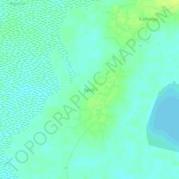
Name: Apot topographic map, elevation, terrain.
Location: Apot, Ngora, Eastern Region, Ouganda (1.34667 33.64667 1.38667 33.68667)
Average elevation: 1,039 m
Minimum elevation: 1,033 m
Maximum elevation: 1,049 m