
Thank you for supporting this site ❤️
Make a donation
Make a donation
Lain topographic map
Click on the map to display elevation.
Thank you for supporting this site ❤️
Make a donation
Make a donation
About this map
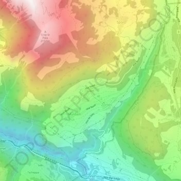
Name: Lain topographic map, elevation, terrain.
Location: Lain, Vaz/Obervaz, Albula, Grisons, 7082, Suisse (46.67839 9.51101 46.71839 9.55101)
Average elevation: 1,398 m
Minimum elevation: 750 m
Maximum elevation: 2,256 m
Thank you for supporting this site ❤️
Make a donation
Make a donation