
Thank you for supporting this site ❤️
Make a donation
Make a donation
Mondercange topographic map
Click on the map to display elevation.
Thank you for supporting this site ❤️
Make a donation
Make a donation
About this map
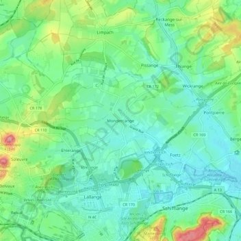
Name: Mondercange topographic map, elevation, terrain.
Location: Mondercange, Canton Esch-sur-Alzette, Luxembourg (49.51121 5.95301 49.55288 6.06250)
Average elevation: 310 m
Minimum elevation: 274 m
Maximum elevation: 411 m
Thank you for supporting this site ❤️
Make a donation
Make a donation