
Armagh topographic map
Interactive map
Click on the map to display elevation.
About this map
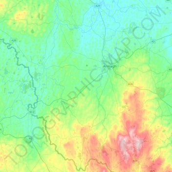
Name: Armagh topographic map, elevation, terrain.
Location: Armagh, Keady, County Armagh, Irlande du Nord, Royaume-Uni (54.17928 -6.82594 54.45291 -6.60807)
Average elevation: 100 m
Minimum elevation: 10 m
Maximum elevation: 359 m