
Авень topographic map
Interactive map
Click on the map to display elevation.
About this map
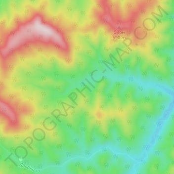
Name: Авень topographic map, elevation, terrain.
Average elevation: 470 m
Minimum elevation: 283 m
Maximum elevation: 751 m
Other topographic maps
Click on a map to view its topography, its elevation and its terrain.
Одаибаке
Rusland > Сахалинская область > Южно-Курильский городской округ
Одаибаке, Южно-Курильский городской округ, Сахалинская область, Federaal District Verre Oosten, Rusland
Average elevation: 12 m