
Fays topographic map
Interactive map
Click on the map to display elevation.
About this map
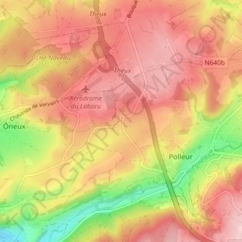
Name: Fays topographic map, elevation, terrain.
Location: Fays, Polleur, Theux, Verviers, Liège, Wallonie, 4910, Belgique (50.52582 5.84317 50.56582 5.88317)
Average elevation: 295 m
Minimum elevation: 178 m
Maximum elevation: 368 m
Other topographic maps
Click on a map to view its topography, its elevation and its terrain.