
Thank you for supporting this site ❤️
Make a donation
Make a donation
Col du Chardonnet topographic map
Click on the map to display elevation.
Thank you for supporting this site ❤️
Make a donation
Make a donation
About this map
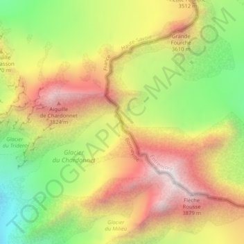
Name: Col du Chardonnet topographic map, elevation, terrain.
Location: Col du Chardonnet, Orsières, Entremont, Valais, Suisse (45.95620 7.00164 45.97620 7.02164)
Average elevation: 3,277 m
Minimum elevation: 2,632 m
Maximum elevation: 3,890 m
Thank you for supporting this site ❤️
Make a donation
Make a donation
Other topographic maps
Click on a map to view its topography, its elevation and its terrain.