
Thank you for supporting this site ❤️
Make a donation
Make a donation
Großberndten topographic map
Click on the map to display elevation.
Thank you for supporting this site ❤️
Make a donation
Make a donation
About this map
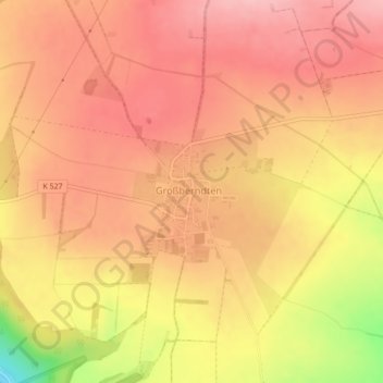
Name: Großberndten topographic map, elevation, terrain.
Average elevation: 391 m
Minimum elevation: 288 m
Maximum elevation: 435 m
Thank you for supporting this site ❤️
Make a donation
Make a donation
Other topographic maps
Click on a map to view its topography, its elevation and its terrain.
Wettenburg (Hainleite)
Deutschland > Thüringen > Kyffhäuserkreis > Sondershausen
Average elevation: 415 m
Thank you for supporting this site ❤️
Make a donation
Make a donation