
白泉 topographic map
Interactive map
Click on the map to display elevation.
About this map
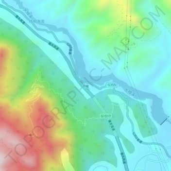
Name: 白泉 topographic map, elevation, terrain.
Location: 白泉, 永泰县 (Yongtai), Fuzhou, Fujian, RPC (25.72434 118.69501 25.76434 118.73501)
Average elevation: 306 m
Minimum elevation: 93 m
Maximum elevation: 900 m