
Thank you for supporting this site ❤️
Make a donation
Make a donation
Guachucal topographic map
Click on the map to display elevation.
Thank you for supporting this site ❤️
Make a donation
Make a donation
About this map
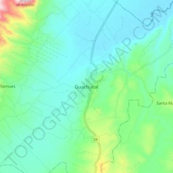
Name: Guachucal topographic map, elevation, terrain.
Location: Guachucal, Nariño, Colombia (0.91734 -77.77336 0.99734 -77.69336)
Average elevation: 3,116 m
Minimum elevation: 3,005 m
Maximum elevation: 3,543 m
Thank you for supporting this site ❤️
Make a donation
Make a donation