
Ooltgensplaat topographic map
Interactive map
Click on the map to display elevation.
About this map
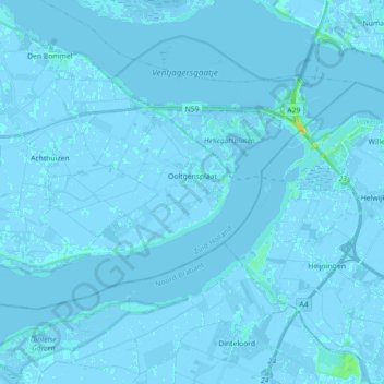
Name: Ooltgensplaat topographic map, elevation, terrain.
Location: Ooltgensplaat, Goeree-Overflakkee, Südholland, Niederlande (51.64378 4.24442 51.71138 4.42355)
Average elevation: 0 m
Minimum elevation: -4 m
Maximum elevation: 20 m
Other topographic maps
Click on a map to view its topography, its elevation and its terrain.
Melissant
Niederlande > Südholland > Goeree-Overflakkee
Melissant, Goeree-Overflakkee, Südholland, Niederlande
Average elevation: 0 m
Goeree-Overflakkee
Niederlande > Südholland > Goeree-Overflakkee
Goeree-Overflakkee, Südholland, Niederlande
Average elevation: 0 m
Goedereede
Niederlande > Südholland > Goeree-Overflakkee
Goedereede, Goeree-Overflakkee, Südholland, Niederlande
Average elevation: 0 m
Den Bommel
Niederlande > Südholland > Goeree-Overflakkee
Den Bommel, Goeree-Overflakkee, Südholland, Niederlande
Average elevation: 0 m
Achthuizen
Niederlande > Südholland > Goeree-Overflakkee
Achthuizen, Goeree-Overflakkee, Südholland, Niederlande
Average elevation: 0 m