
Thank you for supporting this site ❤️
Make a donation
Make a donation
Paya topographic map
Click on the map to display elevation.
Thank you for supporting this site ❤️
Make a donation
Make a donation
About this map
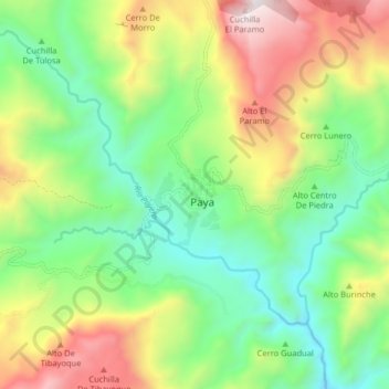
Name: Paya topographic map, elevation, terrain.
Location: Paya, morcote, Boyacá, Colombia (5.58649 -72.46511 5.66649 -72.38511)
Average elevation: 1,186 m
Minimum elevation: 666 m
Maximum elevation: 2,064 m
Thank you for supporting this site ❤️
Make a donation
Make a donation