
Bazenheid topographic map
Interactive map
Click on the map to display elevation.
About this map
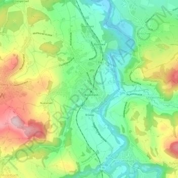
Name: Bazenheid topographic map, elevation, terrain.
Location: Bazenheid, Wahlkreis Toggenburg, Sankt Gallen, 9602, Schweiz (47.39064 9.04835 47.43064 9.08835)
Average elevation: 640 m
Minimum elevation: 529 m
Maximum elevation: 818 m