
Badger Creek topographic map
Interactive map
Click on the map to display elevation.
About this map
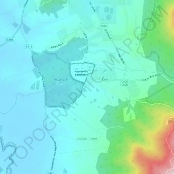
Name: Badger Creek topographic map, elevation, terrain.
Average elevation: 255 m
Minimum elevation: 69 m
Maximum elevation: 843 m
Other topographic maps
Click on a map to view its topography, its elevation and its terrain.
Healesville
Australia > Victoria > Healesville
Healesville, Shire of Yarra Ranges, Victoria, 3777, Australia
Average elevation: 150 m