
Tarland topographic map
Interactive map
Click on the map to display elevation.
About this map
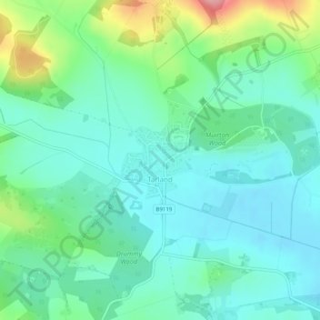
Name: Tarland topographic map, elevation, terrain.
Location: Tarland, Aberdeenshire, Écosse, Royaume-Uni (57.12394 -2.86711 57.13418 -2.85252)
Average elevation: 169 m
Minimum elevation: 136 m
Maximum elevation: 268 m