
Thank you for supporting this site ❤️
Make a donation
Make a donation
Wolfsburg topographic map
Click on the map to display elevation.
Thank you for supporting this site ❤️
Make a donation
Make a donation
About this map
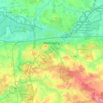
Name: Wolfsburg topographic map, elevation, terrain.
Location: Wolfsburg, Lower Saxony, Germany (52.31593 10.64711 52.49509 10.90684)
Average elevation: 84 m
Minimum elevation: 47 m
Maximum elevation: 161 m
Thank you for supporting this site ❤️
Make a donation
Make a donation