
Brooksville topographic map
Interactive map
Click on the map to display elevation.
About this map
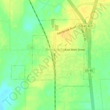
Name: Brooksville topographic map, elevation, terrain.
Location: Brooksville, Noxubee County, Mississippi, 39939, USA (33.22452 -88.59519 33.24195 -88.57196)
Average elevation: 80 m
Minimum elevation: 65 m
Maximum elevation: 93 m