將軍澳 Tseung Kwan O topographic map
Interactive map
Click on the map to display elevation.
About this map
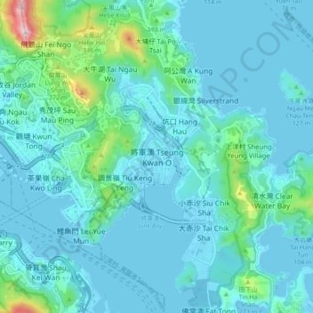
Name: 將軍澳 Tseung Kwan O topographic map, elevation, terrain.
Average elevation: 72 m
Minimum elevation: -3 m
Maximum elevation: 590 m

Click on the map to display elevation.
Name: 將軍澳 Tseung Kwan O topographic map, elevation, terrain.
Average elevation: 72 m
Minimum elevation: -3 m
Maximum elevation: 590 m