
La Cerdena topographic map
Interactive map
Click on the map to display elevation.
About this map
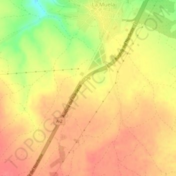
Name: La Cerdena topographic map, elevation, terrain.
Location: La Cerdena, La Muela, Valdejalón, Zaragoza, Aragón, España (41.55766 -1.12936 41.57766 -1.10936)
Average elevation: 601 m
Minimum elevation: 559 m
Maximum elevation: 621 m