
Kruisland topographic map
Interactive map
Click on the map to display elevation.
About this map
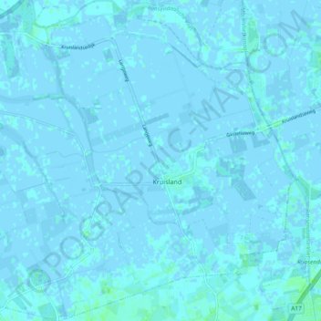
Name: Kruisland topographic map, elevation, terrain.
Location: Kruisland, Steenbergen, Nordbrabant, Niederlande (51.54372 4.35417 51.60144 4.44400)
Average elevation: 0 m
Minimum elevation: -4 m
Maximum elevation: 6 m
Other topographic maps
Click on a map to view its topography, its elevation and its terrain.
Dinteloord
Niederlande > Nordbrabant > Steenbergen
Dinteloord, Steenbergen, Nordbrabant, Niederlande
Average elevation: 0 m