
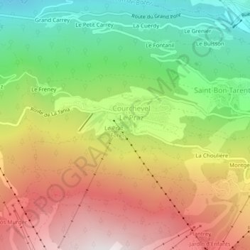
Lac du Praz topographic map
Interactive map
Click on the map to display elevation.
About this map
Name: Lac du Praz topographic map, elevation, terrain.
Average elevation: 1,316 m
Minimum elevation: 721 m
Maximum elevation: 1,969 m
Other topographic maps
Click on a map to view its topography, its elevation and its terrain.
Réserve naturelle du Plan de Tueda
France > Auvergne-Rhône-Alpes > Courchevel
Réserve naturelle du Plan de Tueda, Via Ferrata Le Panoramic, Saint-Bon-Tarentaise, Courchevel, Albertville, Savoie, Auvergne-Rhône-Alpes, France métropolitaine, 73120, France
Average elevation: 2,452 m
Altiport
France > Auvergne-Rhône-Alpes > Courchevel
Altiport, Saint-Bon-Tarentaise, Courchevel, Albertville, Savoie, Auvergne-Rhône-Alpes, France métropolitaine, 73120, France
Average elevation: 2,008 m
Dent du Villard
France > Auvergne-Rhône-Alpes > Courchevel
Dent du Villard, Courchevel, Albertville, Savoie, Auvergne-Rhône-Alpes, France métropolitaine, 73120, France
Average elevation: 1,686 m
Refuge des Lacs Merlet
France > Auvergne-Rhône-Alpes > Courchevel
Refuge des Lacs Merlet, Route de l'Altiport, Saint-Bon-Tarentaise, Courchevel, Albertville, Savoie, Auvergne-Rhône-Alpes, France métropolitaine, 73120, France
Average elevation: 2,385 m