
South Eleuthera topographic map
Interactive map
Click on the map to display elevation.
About this map
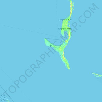
Name: South Eleuthera topographic map, elevation, terrain.
Location: South Eleuthera, The Bahamas (24.45093 -76.70016 25.04233 -75.90356)
Average elevation: 0 m
Minimum elevation: 0 m
Maximum elevation: 39 m